Field trip to Calperum 3 October 2017
The OzFlux tower was divested of its crows nest so that I could stand on the platform and clean the instruments. We replaced the SD cards in the 2 phenocameras that take hourly images of the ground and vegetation during daylight hours.
With only 2.5mm of rain in the gauge since 23 September the area is looking very dry. All grass has dried off and only the spinifex and some chenopodium bushes are green and growing.
The regenerating Mallee trees with their multiple stems look very healthy with surprising amounts of green leaves. The evapotranspiration (ET) rates must have been very low since the soil water measurements indicate a decrease of only 7 to 8 mm to 2.5m depth. This amount together with the 3mm of rain means we are only measuring 10 to 11mm of ET over a period of ~38days or about 0.3 – 0.4 mm per day. The only rationale that might support this is that it has been quite cool and overcast during the last 6 weeks.
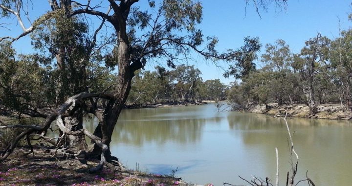
The picture above is at Hunchee Point on the banks of Ral Ral Creek where our riverine floodplain supersite (1 ha site) is located. The pink flowers in the foreground are pigface flowers. Quite a few Blackbox (E. largiflorens) are flowering.


